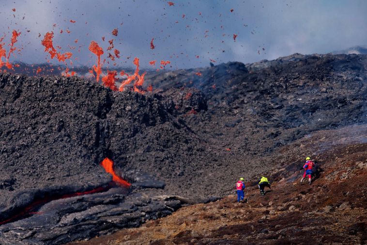
A new 3D model of the lava field in the Geldingadalir valleys, Mount Fagradalsfjall, southwest Iceland, has been posted on the Facebook page of the group of volcanology and natural hazards, University of Iceland, mbl.is reports.
The model was created by the Photogrammetry Department of the Icelandic Institute of Natural History and is based on photos taken on a plane on Sunday. Photos were processed in Agisoft Metashape.
The project was carried out in collaboration with the Civil Protection and Emergency Management of Iceland, the National Land Survey of Iceland and the University of Iceland.
See for yourself. You can view lava from any angle, zoom in and out, and understand its size and shape. It’s pretty interesting.